One of my favourite things about travel is its continuous ability to surprise me. Whether it’s discovering hidden beaches in Vanuatu or coming across sea turtles on a dive in Samoa, travel often presents the unexpected. The latest example was during our unplanned visit to Zion National Park in Utah on our (again unplanned) American road trip.
We had spent a couple of days exploring Grand Canyon National Park and were enjoying our final meal at our lodge when we got chatting to another group of hikers.
They suggested adapting our route to take in Zion National Park. “It’s like a red Yosemite in the desert,” they told us. “You’ll love it.”
Diverse topography
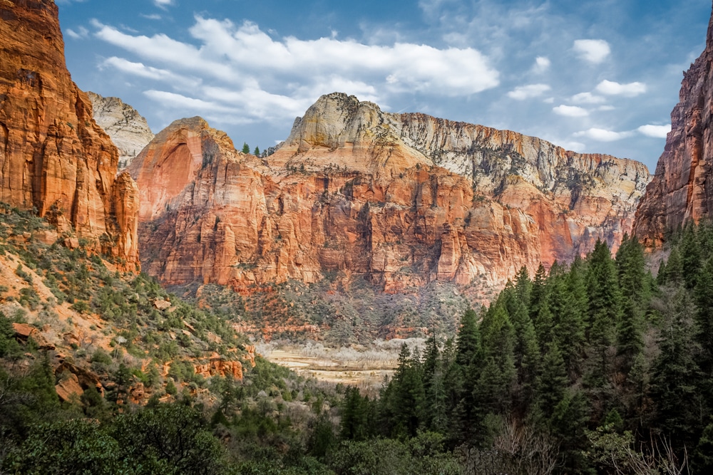
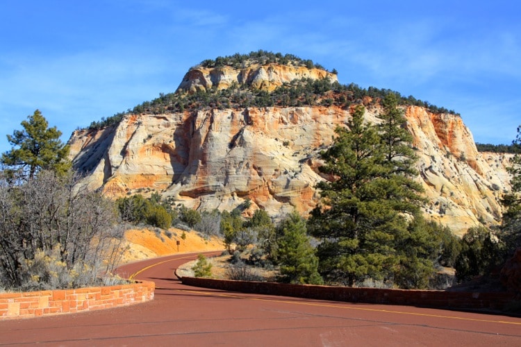
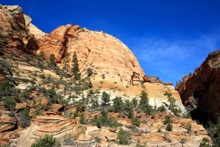
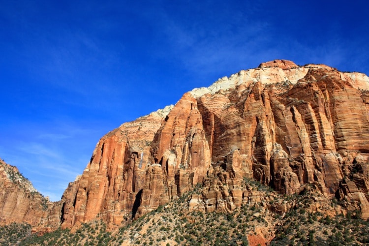
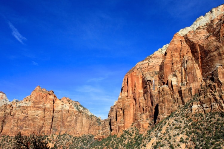
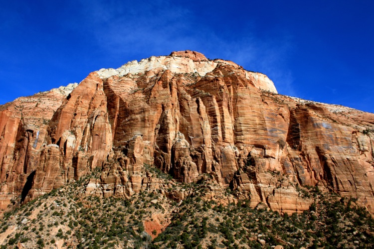
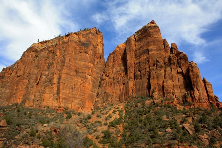
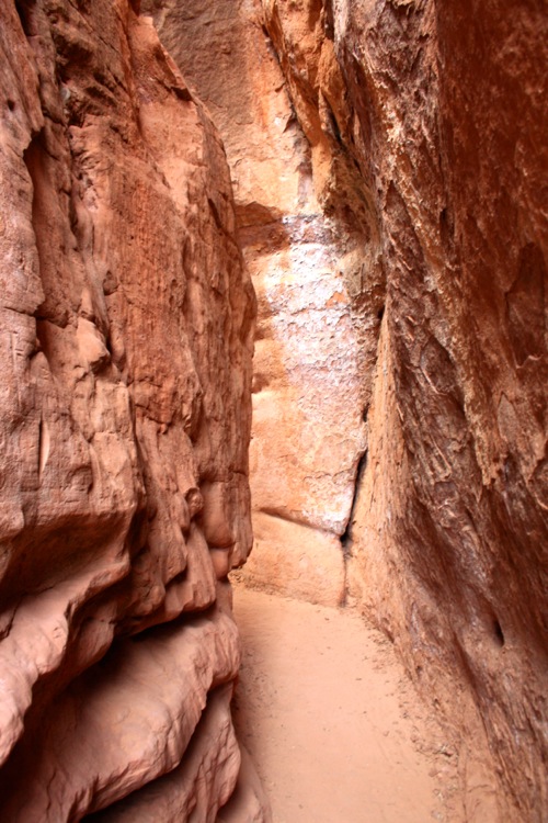
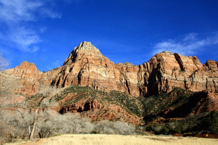
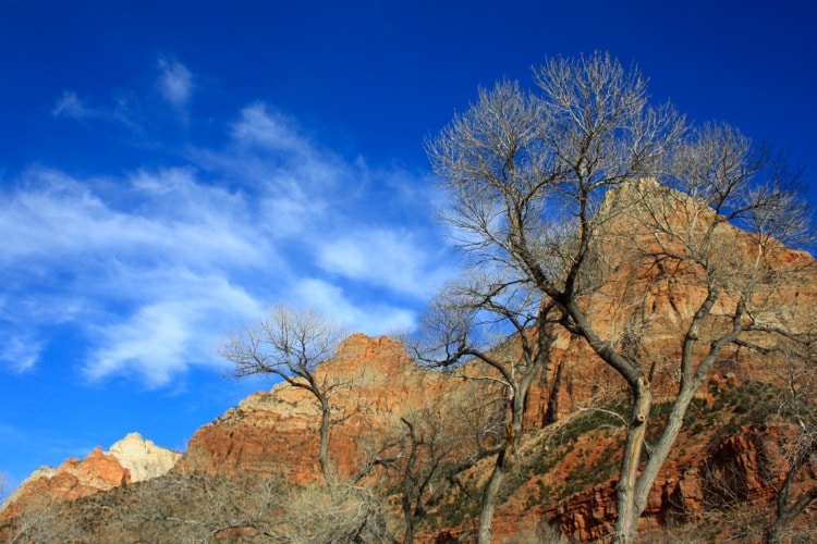
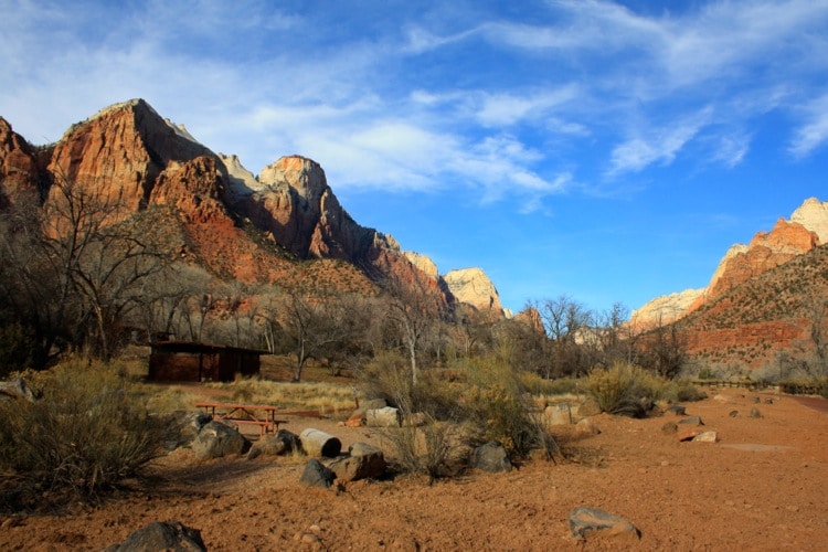
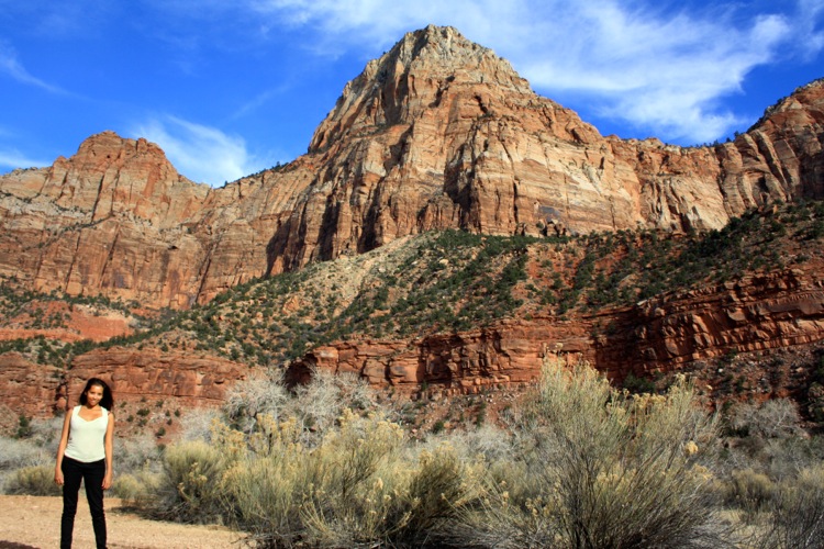
Now, there is nothing “little” about Zion National Park – quite the opposite in fact. The massive sandstone cliffs of cream, pink, and red soar dramatically into the sky.
As you emerge from the Zion-Mount Carmel Tunnel you’re greeted with rolling plateaus that gently undulate before the juniper-clad slopes and sandstone canyons quickly pitch wildly upwards of 2,600 meters (8,530ft), never dropping below 900 meters (3,000ft).
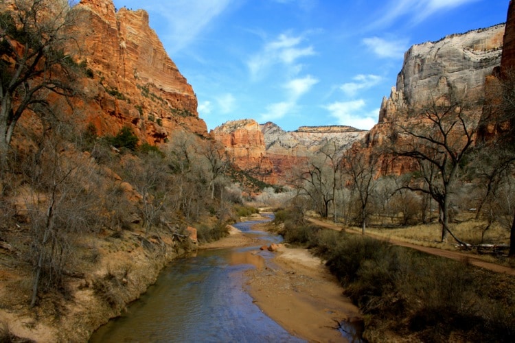
There are meadows with fresh water streams and the Virgin River working its through the park, as well as dripping springs and even the odd waterfall. The topography is refreshing and truly diverse.
Atlas & BOots
The excellent National Park Service has done another fine job here. There is plenty of information and interpretive signage available upon arrival to help the first-time visitor decide what to do.
The park is crisscrossed with a range of hiking trails of varying lengths and challenges to suit every timescale and level of fitness. There are rock towers, sandstone canyons and sharp cliffs to summit if you have the time and the muscle.
We were making an unplanned detour so only had the day. We chose to explore three short hikes: the Weeping Rock Trail, the Upper Emerald Pool Trail and part of the Riverside Walk.
The Zion Canyon Scenic Drive winds its way through most of the park connecting the trailheads, vista points and other services (restaurants, cafes and information points).
I would love to go back and stay at the well-stocked campground for a few days (if Kia permits it) and try some of the more challenging hikes like the Hidden Canyon and La Verkin Creek.
Zion is the US’s eighth most visited national park, but don’t let that fool you – it holds its own against the heavyweights. In February, the park was peaceful and quiet with breathtaking views to rival the more popular Yosemite and Grand Canyon national parks. If you ever have the chance, take the road to Zion. We loved it. You will too.
How to get there
Zion National Park is located on State Route 9 in Springdale, Utah. We drove from Arizona in the south on US Route 89 and then onto State Route 9.
Depending where you’re coming from you’ll probably want to take directions towards St. George, La Verkin or Mount Carmel Junction. Your best bet is to use the Plan Your Visit page on the excellent NPS website.
The park entrance fee is $25 per vehicle or $12 per person, and the pass lasts for a week, making it more economical if you can visit in a group and stay for several days.
There are camping options available as well as lodges both in the park (more expensive) and nearby. There is plenty of information available on the National Park Service website including maps, shuttle timetables, hiking routes, accommodation and more.
